- A Sahel region
- B Central Plateau region
- C Sud-Ouest region
- D Centre-Nord region
-
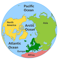
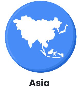 Asia - Quiz 82
 -
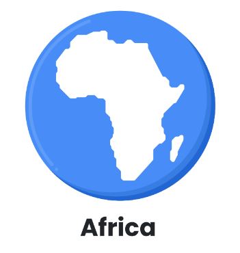 Africa - Quiz 323
 -
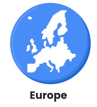 Europe - Quiz 27
 -
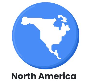 North America - Quiz 29
 -
 South America - Quiz 32
 -
 Oceania - Quiz 13
 -
 Antarctica - Quiz 149
 -
 Galaxy - Quiz 18
 -
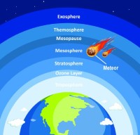 Atmosphere - Quiz
 -
 Oceans - Quiz 28
 -
 Burkina Faso - Quiz
50
Burkina Faso - Quiz
50 -
New Zealand - Quiz 49
-
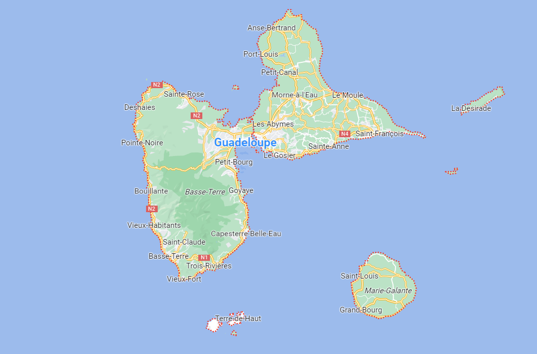 Guadeloupe - Quiz 30
 -
 Australia - Quiz 12
 -
Brunei - Quiz 50
-
Indonesia - Quiz 49
-
 Pakistan - Quiz 50
 -
Denmark - Quiz 50
-
Tunisia - Quiz 50
-
Belgium - Quiz 50
-
 Brazil - Quiz 77
 -
 Chile - Quiz 20
 -
 Morocco - Quiz 64
 -
 Tanzania - Quiz 43
 -
 Saudi Arabia - Quiz 47
 -
 United States - Quiz 50
 -
 United Kingdom - Quiz 13
 -
 Togo - Quiz 30
 -
 Sweden - Quiz 30
 -
 Singapore - Quiz 19
 -
 Switzerland - Quiz 28
 -
 Argentina - Quiz 29
 -
 Greece - Quiz 29
 -
 Cameroon - Quiz 20
 -
 Spain - Quiz 16
 -
 Romania - Quiz 30
 -
 France - Quiz 12
 -
 Mexico - Quiz 49
 -
 Canada - Quiz 96
 -
 Guatemala - Quiz 11
 -
 Sri Lanka - Quiz 11
 -
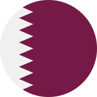 Qatar - Quiz 22
 -
 Italy - Quiz 14
 -
 Netherlands - Quiz 17
 -
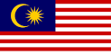 Malaysia - Quiz 16
 -
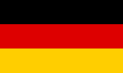 Germany - Quiz 11
 -
 Poland - Quiz 30
 -
 Luxembourg - Quiz 30
 -
 Austria - Quiz 40
 -
 Finland - Quiz 30